GISBox
Process, convert, and stream 3D GIS data with a free, self-hosted solution. Supports OSGB to 3D Tiles conversion, real-time editing, and fast publishing.
GISBox is a powerful and free GIS toolkit that provides a one-stop solution for 3D geographic data processing. It enables you to manage the entire workflow from data preparation to publication within a self-hosted environment. The software supports editing, conversion, and streaming of remote sensing imagery, terrain data, and oblique photography models.
Key capabilities include:
- Comprehensive Data Conversion: Effortlessly convert various formats, including OSGB to 3D Tiles, general models, terrain, imagery, and point clouds.
- Real-Time Scene Editing: Perform real-time edits on OSGB models, such as repairing broken surfaces, terrain alignment, and area flattening or deletion.
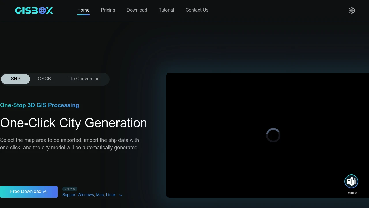
- Automated City Generation: Automatically generate city models with a single click by importing SHP data for a selected map area.
- Free and Fast Streaming: Publish your processed data using protocols like 3D Tiles, Terrain, and WMTS. The platform ensures fast previewing of tiled content right after streaming is complete.
Categories:
Similar to GISBox